
Make your first land enquiry a useful one.
A short, specific message can move you from browsing to a clearer understanding of a parcel. Here is what to prepare and what to keep private.
Stories from above.
Practical knowledge for the ground.
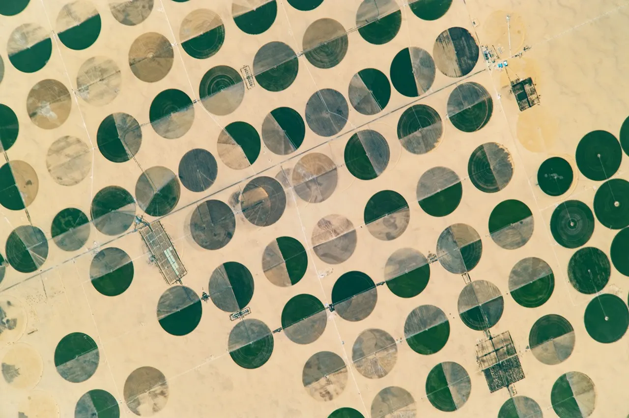
Circular fields, roads and open space invite a closer look. Use an aerial view to form better questions, without mistaking it for proof.
2 min readRead the storyA short, specific message can move you from browsing to a clearer understanding of a parcel. Here is what to prepare and what to keep private.
A practical land due-diligence checklist, from the person listing it to the rights, access and permissions you will need.
Understand what an Orbitty outline tells you, where its information comes from and which checks need an official source.
Compare square metres, hectares, square feet and acres. Keep the difference between a unit conversion and an accurate survey clear.
From a place on Earth to a conversation. Explore freely, understand the details and know what happens at each step.